Channel Islands
The British Tax havens in French waters
The British Tax havens in French waters
Jersey in the PA32 15 Aug 08
The weather, aircraft sales, work and domestic considerations have thus far precluded a family Jersey trip, but like many things in aviation, you just have to keep trying. A warm, sunny weekday is finally forecast for mid-August and and the family and PA32 are booked.
I've been keen to experiment with the on-line flight plan system the CAA have developed, as the idea of filling in a paper form someone else types in to the EuroControl system seems unbearably crude in 2008, so have input and stored the necessary plan for the Jersey run: via Compton, Southampton and a place called Ortac.
This has been educational: I now understand the flight plan process in a great deal more detail. The on-line system works well except that it doesn't cover all the necessary addresses you must send to: a couple of phone calls to the Help Desk completes the task, but I can't help feeling the system is still a little rough around the edges, particularly as when loading stored flight plans, you can see other people's stored plans as well!
As a hangover from the Northern Ireland terrorist troubles of the 1970's and 80's Special Branch require 12 hours notification of flights to Ireland, the Isle of Man and the Channel Islands; I can't help thinking all these faxed forms get thrown in the bin nowadays. What a waste of energy and time; surely a system that needs simply ceasing?
A quick check flight is necessary as work commitments and a holiday have kept me from the cockpit for more than the magic 30 days. My Instructor is concerned I'm taxying it on the brakes and also suggests a reduced power climb-out; both of these faults are hangovers from flying the PA-28-140s which require lots of revs to obviate the risk of carb icing whilst taxying and every ounce of power they possess in order to get off the ground with me plus a burly Instructor on board. So from now on I will taxy the PA-32 at idle revs and reduce the power to 25/25 at 500ft.
We take off, head for Westcott, do stalls and a PFL, then return for some circuits via a left hand orbit to await circuit traffic on Base leg (wheee, I love doing orbits), two touch and go's and a glide approach, all of which go swimmingly, and I'm current once more. Let's go!
Throw the Instructor out at the pumps, get the fuel key, brim the tanks, return the fuel key, walk back to the pumps to pick up the fuel receipt, walk back to pick up the family (phew, I'm exhausted already); load the family in at the pumps; no booking out required as I have a VFR flight plan filed, and we're off. Only an hour late.
25/25 at 500ft, flaps away at 800ft after confirming positive rate of climb, get a FIS from Oxford, confirm our flight plan is activated and cruise climb leaned to 3,000ft tracked to the Compton VOR. More non-standard comms kit: the DME is a separate unit and to get the intermediate frequencies you need to push the knob (unlike the Cessna radios where you pulled the knob!). Over Newbury we change to Farnborough, who bounce us straight to Solent as our flight plan requests a VFR zone transit straight over the top of Southampton. This is a calculated risk: if we sound like we know what we're doing and fly accurately they will let us in, but if they rumble us we'll have to go around the side. So accurate VOR tracking and confident sounding radio calls are the order of the day.

|

|
|---|---|
|
|
|

|
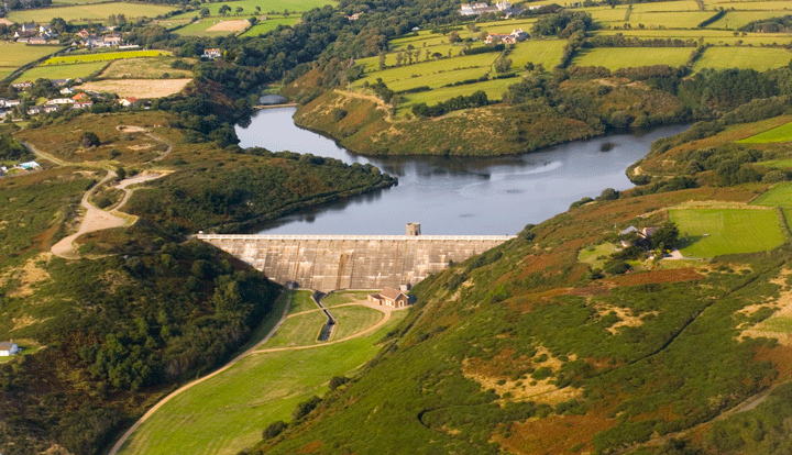
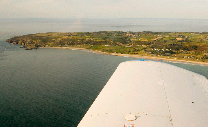
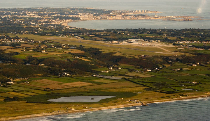
And it works beautifully: Solent accept us, ask us to climb to 4,000ft and the views of Southampton Water glistening in the sunshine are fantastic. At 130Kts we are soon over the Isle of Wight and away South West where they have us back at only 3,000ft which I'm not entirely happy about in a single-engined aircraft over water, but there you are (if the engine stops the advice is to ditch half a mile in front of a medium sized cargo boat so they can pick you up, which sounds reasonable). Change to Bournemouth Radar and track outbound towards Ortac, Alice flying the majority of the leg (good practice as the horizon is indistinct) while I do the radio and navigation.
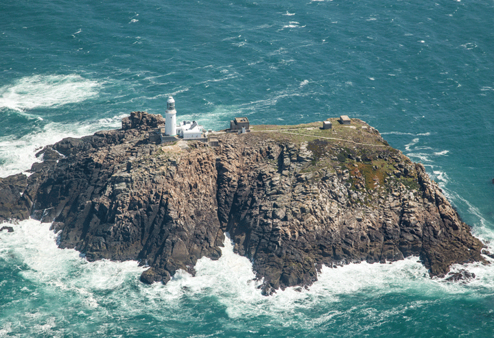
Ortac itself is a rock near Alderney, but it also exists as a popular VFR and IFR reporting point a few miles North East of the rock, in the middle of the sea, which is complete nonsense from a VFR perspective because you can't see it: it only exists by reference to 2 VOR bearings or on GPS charts (that we're not officially allowed to use as our primary navigation...). This is all a bit Mickey Mouse; roll on IMC.
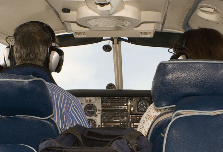
On our way to Ortac we switch to Jersey Zone to ask for a Zone (in this case a Special VFR, as this is Class A Airspace) Transit. Again, like Solent, if you make a mess of things they will send you down the Cherbourg peninsular coastline via a dogleg VFR route that adds half an hour to the journey. So we navigate accurately and sound confident, and have no problem at all.
|

|
|---|---|
Heading South to the Jersey VOR we switch to Jersey Approach who advise a right base join for 27; descend to 1,500ft and nail 100Kts with one stage of flap then 80Kts with three stages; I'm the only one on the approach so we report Final. I flare three feet too high and the landing is a bit of a thumper, which is a shame as my check ride landings were great; clean up, turn off and head for the Aero Club to file a flight plan for the return journey.
My conclusion is that for these transits being prepared is everything: have a plan, stick to it, practise your radio calls and sound confident. I hear some dreadfully hesitant radio calls, and the ATCOs simply don't take them seriously. Also, know where you are and where you're going at all times, including on the ground!
After lunch and shopping in St Helier we return to the Aero Club where the very nice fuel bowser service has brimmed the tanks with £118 worth of Duty Free100LL Avgas whilst we lunched; pay our bill and head out, start up and wait in the rush-hour queue to take-off behind a Boeing 737, a Swearingen Metro and several PA-28s. A Trislander queues up behind us. It's hot in the cabin but I don't mind at all because I have this fixed shit-kicker grin all over my face: after 25 years of waiting I'm finally getting to fly my family around...
We are eventually cleared on to the mile-long 27 and depart Westbound cleared to "West of Cap de la Hague" (which confuses me somewhat; I only discover this is a VFR reporting point midway between Alderney and the Cherbourg Peninsula after the flight...), making a long climbing right-hand turn towards the North East, giving a beautiful view of Jersey, and then the other Channel Islands and the Cherbourg Peninsula. The Trislander, heading for Guernsey, passes below us.
We're cleared to "not above 3,000ft" which turns out to mean "climb to 3,000ft", then onwards to Ortac and back towards Southampton; again, very easy, so we'll experiment with the autopilot.
I can't use the word "Autopilot" without thinking of Julie Hagerty giving the blow-up autopilot a blow-job in the film "Airplane"; but they save you a lot of work once you've worked out how to use them. Slave the DI to the compass then set the bug correctly allowing for the wind, steer that course and click the autopilot on, then fly the altitude on the trim wheel. Workload reduced, you can concentrate on the scenery, FREDA checks, radio, the DME and really accurate navigation.
It's very smooth over the sea and there are a lot of boats; from 3,000ft we can see both coasts and France looks sunnier. A PA-28 has taken off behind us and is following us, but he's doing 110Kts and we're pushing 130Kts at 24/24 so we soon leave him behind.
Soon the Isle of Wight looms; Bournemouth pass us to Solent who ask us to climb to 4,000ft, then chase us as we're not climbing fast enough (just trying to give the passengers a smooth ride!); we fly right over Southampton again and back towards Compton, stay at 4,000ft, skip Farnborough and go straight to Oxford who are very quiet. The weather isn't as good here....
Cruise descent over Didcot and Abingdon, flip the autopilot off over Botley, ogle (and contemplate an orbit around) a Virgin balloon over central Oxford (Approach tell us about him long after we've spotted and passed him), slot in for a downwind join at 100Kts with one stage of flap in, downwind checks, three stages of flap and 80Kts on Base leg, turn Final, and can't call Final because the Tower is chatting away to someone else. Just at the point at which I'm ready to go around they stop and I call short Final, get clearance, and land with a trickle of throttle which makes for a lovely smooth arrival. Brake sparingly (Instructor moans ringing loud in my ears), clear and roll home.
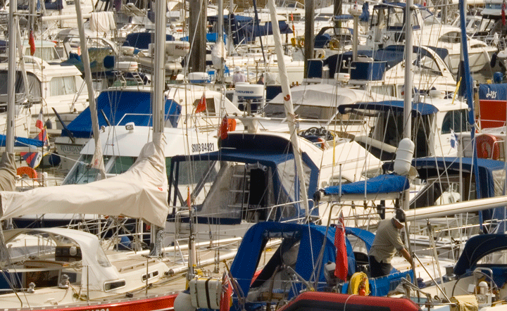
I'm left with the impression that to go places you really do need an aircraft that does at least 130Kts: this would have been a painful process in a slower aircraft such as a C172, so it was worth waiting for a faster aircraft.
Jersey 11 Jun 11
As TG is parked at Oxford we are all automatically members of OAGAG: a pressure group representing the interests of GA at Kidlington. One of the members is Michael Ashall: head of Vencap for whom I have done a fair amount if IT work down the years.
He has invited all members of OAGAG down to Jersey, where he lives, for lunch on a sunny Saturday in June. However, it being June, there are Royal flights and Red Arrows displays to avoid. So we must be out of Oxford's airspace before 11.15L and back North of Blewbury before 18.45L. Book-ends.
Willie and I are to fly: I will fly out whilst he does the radio, and we will swap for the return journey.
We have a brand-new Garmin GTX328 Mode Sierra transponder fitted, now closer to the pilot for ease of access, and the DME is now at the top of the stack. So a few changes to get used to.
We have a flight plan so no need to book out, and we even have the Air Med gate code, so slip in through there straight to the plane and take off on 01, turn right and head South for Compton. Leaving Oxford Approach we switch to Solent who ask us to squawk, then complain they have no height information: ah, we need to hit ALT on the new Garmin instead of ON.
They clear us through the Bournemouth Zone and we proceed through the odd puffy cloud but mainly VFR. At Hengistbury Head we coast out and begin a climb to FL80, starting in cloud then bursting through in to clear, smooth air.

I could quite get used to not having to do the radio: it means really concentrating on getting the flying bit absolutely spot on.
We call the Jersey Zone, who for some reason haven't given us a PPR number despite us having contacted them by phone two days ago. Doh! Eventually they relent as we have a Jersey Aero Club PAR number and route us direct Jersey (we expected to be mucked about down the French coast and have the map out ready) so we follow the VOR to JSY.
They step us down to 2,000ft and 5 miles out they have us orbit, which is a little disturbing especially as they then have us descend in the orbit to 1,000ft. Glad I'm just flying.
Eventually they bring us in no. 6 for arrival and we cruise down the approach: ILS on target, 2 red and two whites, wind straight down the runway, so let's aim for a greaser, as I've got Willie on board. And manage one: even Willie says "nice landing". Except that in all the congratulation we miss our turn off and end up all the way over the other end of the apron. Still, we get to taxy past all the 737s and ATR's waiting on the apron. Big boys indeed...
Park up on the Jersey Aero Club apron and disembark, fill up with Duty Free AvGas from the bowser and saunter off for lunch....
The Red Arrows are booked to flypast the Blewbury fete at 6.45pm, so we are keen to get home ahead of them. Plan B involves a left turn South of Compton and a transit over the top if the Brize Zone before turning East for Oxford.
We file a flight plan at Jersey Aero Club, start up then have to hold for ages before take-off. This has happened to me before at Jersey.
 Eventually we take off and are vectored North for "West of Cap de la Hague" which I correctly identify but Willie doesn't until Approach tell us we are heading in the wrong direction. It doesn't feel great flying not above 1,000ft over the water, however. We request, and are eventually given, a climb to FL70 and once past Alderney we turn West of the Airway Q41 and head for Bournemouth once more.
Doing just the radio works well: you can really concentrate on doing it well and being very situationally aware, as well as double-checking the primary instruments. The workload is lower, and it's more enjoyable.
Bournemouth clear us for a high-level transit then ignore us until we are clear, at which point we swap to Farnborough and explain we are trying to avoid the Red Arrows. I feel that even if we do then infringe at least Farnborough will be partly to blame.... and anyway I'm not P1! They are very happy to hear from us, know all about the Red Arrows and tell us we will be through before they appear, but to stay with them.
Which we do, all the way to well over Oxford City Centre, where still at 4,000ft they finally release us to Oxford. Poor Willie has everything hanging out trying to get us down to circuit height, while Pete Williams is rapidly closing from behind us on an IFR clearance. We sneak in ahead of him for a Right Base join for 01 and despite blowing through the centre line and having to correct, Willie drops us on neatly and we roll in.
Guernsey 9 Sep 12
At last: some September sun and a working aircraft: time for our delayed Guernsey lunch trip.
Every month the company has a Board meeting where the two Directors look at each other, announce they are both bored and have a decent tax-free lunch. This month we will have it at St Peters Port in Guernsey.
At Oxford the weather is picture-perfect as we take off but the TAFs look really dodgy for the Channel Islands. For some long ago-buried reason neither normal UK aviation rules nor French aviation rules apply in the Channel Islands: you must file a flight plan (why?) and request "Special VFR", which is basically a promise that you'll stay VMC (in other words out of cloud and within sight of the sea/ground) despite having an IMC and (in my experience at least) in conditions that nearly always resemble a goldfish bowl, requiring mastery of IMC skills even in what would normally pass for "a nice day" over the sea. So basically everyone lies, because they can't prove you were ever in cloud and provided you're above 1,000ft (MSA over the sea) you're not really in any great danger.
Tango Golf still has reported issues with slow lining-up of the Artificial Horizon and a pulsing Low Voltage light but neither are show-stoppers so we will watch out for them as we fly.
We pop a bit more fuel in there as there is only 16USG available following Steve's trip to Guernsey the previous day, then take-off in to a beautifully calm, slightly hazy blue-sky day, climb to 3,000ft and track the CPT beacon in then out. It is possible to draw a line straight from CPT to Guernsey through the Bournemouth zone so we put the autopilot on and relax. We coast out South of Bournemouth and climb to 4,000ft once clear of their zone. Amazingly, CPT is still quite happy directing us over the Channel, which implies quite a hefty radio at Compton Norris.
I'm experimenting with SkyDemon on the iPad at the moment in addition to the normal Garmins 296 and Aware boxes. I have struggled with finding anywhere to put the iPad that allows it to gain a satellite signal, but the compass error card, a small card in a metal frame that was attached to the compass by Blu-tack has come adrift and someone has stuck it to the top of the coaming instead, where it now makes an excellent stop for the bottom edge of the iPad when it is wedged against the windscreen. Now we can have 3 GPSes, two with our course plotted, plus the VOR. 4 independent nav devices.
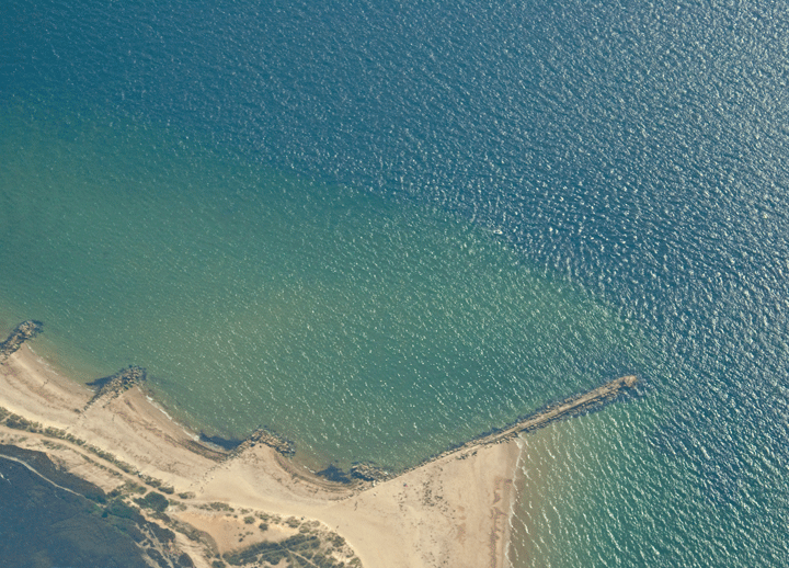
Soon we spot clouds which thicken below us as we proceed. Strictly "Special VFR" means "no VMC on top" and certainly no messing around in the white stuff but both us and the aircraft behind us assure the Channel Islands Zone absolutely that we are VMC and in sight of the surface, even as we descend through the cloud layer to 1100ft to be able to actually see anything (it's a little lie everyone colludes in, they can't prove we're IMC, we "manage to find a hole..."). Even there viz is about 1 mile (ish...). It's pretty yucky, actually, but what are you going to hit at 1100ft over the channel?
|
|
|---|---|
|
|
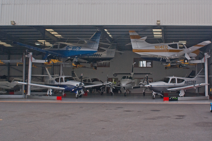
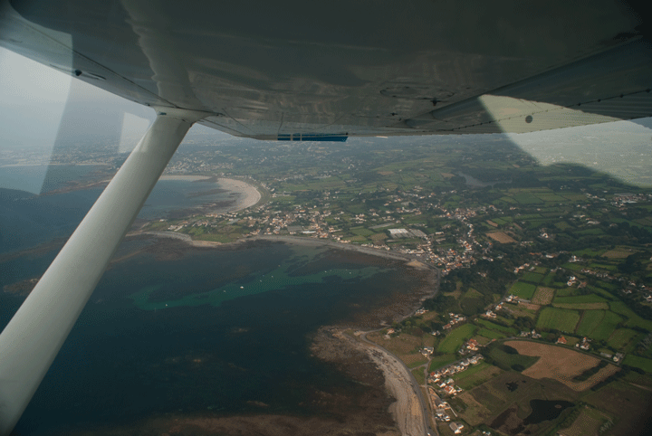
Eventually Guernsey hoves in to sight but we can't actually see the field until we're 2 miles away and on Final, and there's a gusty 15Kt crosswind as well, so the approach is lumpy. Even as we flare we're still being kicked about and some fancy footwork and lots of into-wind aileron is required - even then we use a good chunk of the runway width up. Yuk, but still, it's a smooth arrival and we trundle in for a marshalled park-up outside the double-deck hangar (how cool is that?).
ASG are absolutely brilliant: we are whisked through, nothing is too much trouble and they will fill it up for us. 5 minutes later we are on a £1 bus to St Peter Port. Now that's efficiency. What I don't understand is that if we didn't wait for more than 5 minutes for a rural bus on a Sunday at either St Peter Port or at the airport why can't central Oxford, with all it's huge investment in Park and Ride buses, manage to get a bus out to the Botley Park 'n Ride more frequently than every 30-40 mins? Tragic.
After a damned good lunch and a couple of interesting bus rides (how they get those huge buses down those tiny roads amazes me - I've never before ridden a bus that regularly drives on the pavement...) we return to pick up our Duty Free fags 'n booze at the Tower, then back to pay our (very reasonable) landing fee and our (also very reasonable, being Duty Free) fuel. We fire up and taxy out to the main apron past all the FlyAirs and RyanBes (I love this bit), power-check at A2 and roll on to the main runway. I don't think we'll need a backtrack, somehow. The cloudbase has risen and the sun is trying to come out, so we climb out Northbound to 2,000ft.
At this point the AH starts playing-up. It was fine all the way down but now it won't erect and keeps rolling drunkenly over to the left. As the normal mid-Channel goldfish-bowl effect settles in we lose all external references, and now we have no AH, so we're partial-panel. We'll try the autopilot, but that hunts left, right, then tries quite hard to turn us over in to the sea, so we will need to continue partial-panel. The air at this height is very unstable (we have a 40Kt quartering tailwind) so we're working on the DI, turn 'n slip and the altimeter in bumpy haze: lovely.....
It's OK, just hard work and requires concentration, making sure the ball is centred and maintaining a good scan. Again, whilst technically "VMC" a VFR-only pilot would seriously struggle here, which fuels my argument that a) the Channel Islands Zone needs scrapping so we can legally use our IMCs here and b) you need an IMC to fly out here anyway.
Eventually we reach the edge of the CI Zone and they release us to climb to our normal Bournemouth-radio-reaching height of 4,000ft. Of course starting the climb brings its own case of the leans so it's a question of setting climb power, trimming for attitude then keeping the DI stable. Eventually we climb out of the haze and rough air and regain a horizon and some sunshine, which reduces the workload, CPT comes back on line and we contact Bournemouth for a Zone Transit. We are VMC on top at this point and a glance at the GPS shows 168Kts ground speed for a 130Kt airspeed: we have a 38Kt tailwind and are doing 198mph over the ground. That's better.
The cloud persists all the way North to Compton and I'm just getting the Oxford plates out of the bag for an ILS recovery when the clouds thin and then part, revealing Didcot power station so we can recover visually. Oxford's ATIS gives winds of 18Kts at 240° which may be interesting.
There is no other traffic to affect so we maintain a cruise descent at an indicated 140Kts all the way to the Downwind leg, then reduce power to idle, pull up sharply and at 95Kts pop the flaps for that satisfying "nose on the windscreen" deceleration and re-trim, pop the second stage as we turn over Deddington and settle in to a stable 80Kt descent as we turn Final. Oxford is briefing a jet pilot as we turn but "Break Break..." gives us clearance to land just as we hit the windshear and mush coming up from the trees and hedgerows, throwing us around. It settles down to about 12Kts as we flare and settle gently, passing a bizjet at the Charlie Hold and concentrating on the far end of the runway. Roll out, flaps away and we're on the taxyway, back to the apron and tie down in the surprisingly strong wind. But we've mastered the cover now and it won't get away from us in the wind....
A challenging day with the worst weather in the British Isles today.
Jersey 24 Apr 15
It's Friday and the office is quiet, so a Board Meeting in Alderney sounds like a good idea. With my new found confidence in the possibility of ditching in the Channel I'm more comfortable with long over-water legs and reckon I can give a decent pax briefing.
And my colleague Johnny needs a flight.
Fire up AFPEx, file that Flight Plan, file the GAR by e-mail, plog the route in SkyDemon, grab the liferaft and the lifejackets and just Go.
Depart Oxford Southbound in haze, climb to 4,000ft on top and contact Bournemouth for a Zone Transit. They promptly forget us about until we are knocking on the door, and only a quick "Tango Golf, orbiting at Stoney Cross to remain outside Controlled Airspace" wakes them up - a Zone Transit is immediately authorised.
I hear Air Traffic Controllers making as many simple errors as pilots: everyone is only human and if anyone is learning to fly and struggling with their radio confidence (we've all been there...) it's nice to know the guys on the other end of the radio make cockups as well.
Johnny is fascinated by our interchanges: he likens it to "dancing with the controllers"; an interesting analogy.
The undercast remains well into the Channel, which is abnormal, but eventually clears as we reach the shipping lanes exactly as forecast. Descending in to the Channel Islands Airspace we get passed from Jersey Control to Guernsey Approach who tell us that despite the forecast, Alderney has scattered clouds at 400ft AMSL, which as the airfield is at 298ft is definitely not VFR, and in fact too low for even an NDB approach. We'll try for a visual approach, then, and see what happens.
The island rapidly becomes visible and the Eastern end is beautfully clear as we descend.... but a grey cloud is sitting right across the approach, exactly where I need to be able to see, just big enough to neatly block my approach without encroaching upon the sea.
Amazing, I've never seen anything like it, but it's apparently common here.
We Go Around at 800ft or so, climbing straight ahead a little untidily to 1,500ft and trundle off to the North for another go. Five minutes later we're back in the same position and... bugger me, that bloody cloud is still there!
As we Go Around once more we can actually see the field directly below us, but that cloud has successfully baulked us, and the Tower tell us it's sitting stationary 100ft over the approach. It's just not worth risking anything, so we climb to 1,500ft and tell Guernsey Approach we're diverting to Jersey, who are CAVOK, such is the weird Channel Islands weather.
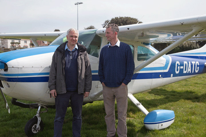 Ten minutes later we are overhead Jersey No. 1 for a Right Base VFR approach in a crystal clear sky, sliding down the approach, getting a bouncy ride over the trees, settling on for the smoothest landing I've ever done at Jersey, and taxying in to the Aero Club. As we climb the steps to book in the CFI tells us he's just spoken to Alderney and now not only are they VFR but CAVOK! Bloody typical.... We could go back but knowing our luck it'll close in again. We'll stay for a decent Seafood platter lunch in the Aero Club.
Having filled up ourselves with lunch and the aircraft with fuel (£1.19 a Litre! No wonder everyone goes to the Channel Islands for fuel) we start up and taxy out in to the sunshine. It's warmer here than Oxford.
Roll on 26 and climb out North cleared to Cap de la Hague (I know where that is now) the visibility is now of course absolutely fabulous and we can see all the way up the French coast. The sea is blue and calm, the air is cloud-free and we hang suspended in space as the world rolls below us.
Guernsey hands us to Jersey and we ask for a clearance back to our Flight Plan route for easier location in the event of an engine failure, pass overhead Alderney where that blasted cloud has dissipated and watch the tankers in the shipping lanes: first West to East in convoys, then a few minutes later East to West. Avoiding the Live Danger Areas to our left we cruise up towards the increasingly cloudy-looking coastline and get a Zone Transit from Bournemouth, coast-in (phew!) and immediately hit the thermal jiggles so noticeably absent over the sea. We are in and out of the scattered clouds in the Zone, then at Stoney Cross we descend for a better view, skirt Boscombe Down's MATZ and follow the A34 North.
Johnny lives in West Hendred, so we'll have a look at his house. This, predictably, is within EGP106, Harwell's Prohibited Zone (one of those wonderful hangovers from the Cold War never rescinded), so we'll stay above 2,500ft by a couple of hundred feet to avoid getting zapped by the CAA and circle his house.
I have found recently that as I have amassed more hours the basic controlling: making the aircraft do what is required i.e. in this instance circle over a spot whilst maintaining speed and height becomes something the conscious brain has little to do with - keeping the nose on the horizon and the speed nailed at 100Kts is easy. I remember fighting the aircraft to maintain even a semblance of equity when learning....
We roll out North and descend over Abingdon for a good look at Oxford ("and on our right hand side are the gleaming spires...") before settling in to a Downwind Join for 19 where we are no. 1 (where is everyone today?).
Surface winds are given as 240 at 15kts: the windsock is straight out and we have a fair crab on to maintain our track. But we'll maintain the crab all the way down to late in the flare, rudder it straight and we drop on with nary a squeak or a rattle.
It's only when we park and open the doors that we realise it's a howling gale out there - the doors bang and flap, the cover has a mind of its own, and my Hi Viz makes a bid for freedom. It didn't feel that windy on Final?
Alderney - Scilly May 15
We have a long weekend booked for The Scillies who, like Scotland, are no strangers to extreme and fast-changing weather.
This is a long-held dream, but I haven't felt up to their short runways and blowy conditions before. I hope I'm up to the challenge.....
The weather has been "less than optimal" (even for May) all week and it's a bit touch and go whether we'll make it out there or, just as importantly, back home again. But the weather forecast finally resolves itself to "acceptable if gusty" by Friday morning, so we'll Go. Possible alternates include Lands End and Newquay (with an ILS).
We failed to get in to Alderney a couple of weeks ago, but the weather forecast says we should be OK today, so we will go for lunch there and then on to The Scillies. This sounds terribly posh but actually only adds 40 minutes or so to the outbound leg, and we can pick up some Duty Free petrol, booze and ciggies (all those things membership of the EU normally denies us, but don't get me started...).
We now have a posh locker in the hangar so can pick up all the over-water kit from there rather than at a random share member's house, which is an improvement (once I find the right hangar door!)
We have eough fuel to get us to Duty Free Heaven in Alderney so we can put our lifejackets on, pocket the PLB, do a Safety Briefing, start up (that trick with the primer works a treat) and depart South via Compton and Bournemouth.
We start off at 3000ft where it's overcast and a bit bumpy but soon tire of the miserable weather and climb just 500ft in to piercingly bright blue skies with fluffy clouds as far as the eye can see in all directions. What a difference 500ft makes!
The weather forecast is for "scattered" but this is definitely overcast and doesn't even break over the coast as we had hoped. Some thinning allows us to see the odd ship below, but it's definitely not as forecast. Typical....
Entering the Jersey Zone we begin our descent. We will need to get visual under the clouds by 1,000ft QNH to be safe, and Jersey are quoting the weather in Alderney as "Broken at 700ft", so it's a bit marginal. A gentle descent in to the gloom has us in solid cloud from 3,000ft all the way down to 1100ft, where we start to see breaks and we're clear by 1,000ft with Alderney visible ahead.
No large lump of cloud is sitting over the approach, although today we are landing Eastbound, so we position for a left base join for 09, roll Final (briefly IMC, that's interesting...) and line up for Final.
Alderney looks like an aircraft carrier floating along in the Channel: any undershoot will have you on the cliffs, so we will carry a bit of height and power against downdrafts until we are over the land, then chop the power and descend towards the undulating runway.
Typically for the first landing of the day I manage to land long (must concentrate on not doing that later...), braking produces nosehweel shimmy so ease off and pull back to unload the nosewheel, then roll all the way to the end for a turn in the circle, backtrack and turn off to the apron, then up on to the long and unkempt grass reserved for refuelling visitors (which manages to damage the freshly-repaired nosewheel spat... typical!).
Alderney is unloved: the airport needs a good revamp, the Aurigny Trislanders have seen better days, the flight planning office has only a fax and no AFPEx terminal. I've never actually faxed a flight plan before, so this is a new experience and of course I manage to forget the Wake Turbulence entry, prompting a phone call from Guernsey.
Then we have to fill out another GAR (we did this before we left Oxford...) which serves as a receipt for getting us back through Security when leaving, then the fueller wants a credit card payment and can't get a 3G signal out on the tarmac. Give me a break!
After a good lunch in the town (Alderney town is a bit shabby) and a long walk down to the harbour for a nap in the sun by the quay our taxi takes us back to the airport, we go through "Security", collect our Duty Free and head out towards the flight line once more.
Now it's going to get a bit more serious: we're going to The Scillies via a long open-water stretch up to Plymouth (we would go direct but there are so many Danger Areas, some of them French, and I'm not sure we will be able to raise Plymouth Military at that range to get a status and a DACS if necessary).
So after a good over-water briefing, PLB in to pocket and lifejackets on we depart Westbound, climbing out in to bright blue sunshine and within 5 minutes are completely out of sight of land.
Tracking North East we leave Jersey Zone. For a while we are entirely out of radio contact which is disconcerting but we are on a Flight Plan so if we ditch someone will find us.
Plymouth Mil are unavailable so we try Exeter who eventually respond but by then we can see land, and the inevitable unforecast cruddy weather which worsens as we approach Plymouth.
If it's like this in The Scillies we are diverting to Lands End or Newquay.
But no, after Plymouth it clears and we have bright blue washed skies all the way down Cornwall.
We swap to Newquay who are very helpful, then try Culdrose (who have gone home) and finally Lands End who are a super-efficient (and very RADA) lady who informs us the DME at St Marys has gone U/S and wants to ensure we have GPS as the radio calls for The Scillies are all distance-related. We have, so she asks us to report overhead and soon we are once more over the sea.
At this point the weather begins to deteriorate once more so we descend to 2000ft, then 1000ft to remain in any way visual. We swap radio to Scillies Approach and descend even further. Much more and we will be below minima....
Slowly the islands beging to emerge from the muck: it's really gloomy down here but the 4 PAPIs on runway 27 are massively bright so we can line up on them; we're at 700ft and just about visual. The tower gives Scattered at 700ft, which is about right. Lovely....
This is where I will really earn my Carrier Landing Rating: 27 is 524m long, slopes heavily up at both ends and both starts and ends on cliff tops, we have a 210° 21Kt crosswind so we're out of crosswind limits and being blown North by it; I have to crab massively in to it to stay on the centreline.
As this is our first visit they recommend a low approach and go around so at 100ft I call Going Around, push everything forward and climb away over the top of the hill. As we start to turn crosswind at 700ft we go solid IMC again so we'll maintain Rate 1 and gently push for a 50ft descent to get visual again.
The Tower thankfully leave us alone (I'm sure they get lots of people doing this) as we scud across the base of the clouds and turn a wobbly Downwind. We turn for Base leg, pop 2 stages of flaps, turn Final and give it so much crab I'm nearly looking out of the passenger window, pop the final stage of flap and slow to 65Kts; we're being bounced around here but the approach is (staggeringly) actually stable.
Concentrate on the numbers, keep the speed up and power on to counteract the cliff downdrafts sucking us down, then that suddenly stops as we crest the cliff, so roll the power off sharp-ish, see the vertical speed come up massively, a huge heave to ensure we don't bounce; the airframe whistle that precedes the stall warner is building, push the right rudder to the stop to straighten us at the very last moment...... and we touch smoothly and roll up the hill, braking gently to stop just past the newly-tarmaced intersection with loads of runway to spare, backtrack and taxy off on to North Side parking and shut down.
That truly was buttock-clenching stuff and maybe the best landing I've ever performed, but right now I need a large Gin & Tonic.....
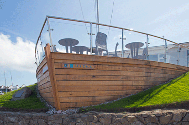
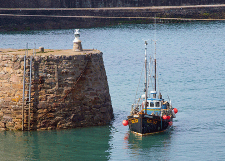
It's Monday, a front has gone through in the night and we wake up to scudding clouds, 25Kt winds and heavy rain. The TAF says it's going to blow through by 10.00am but the winds will be 300° gusting 29Kts all day, rising to 54Kts by 6.00pm. Time to Go.

|
|
|---|---|
|

|

|
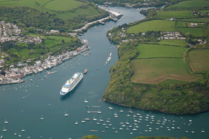
|
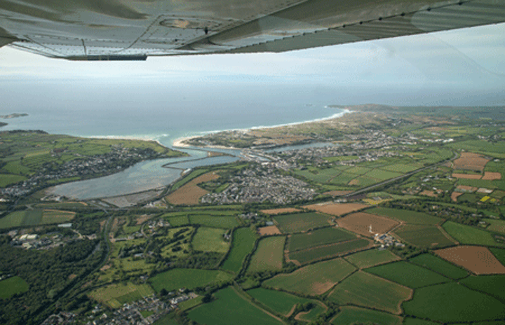
|
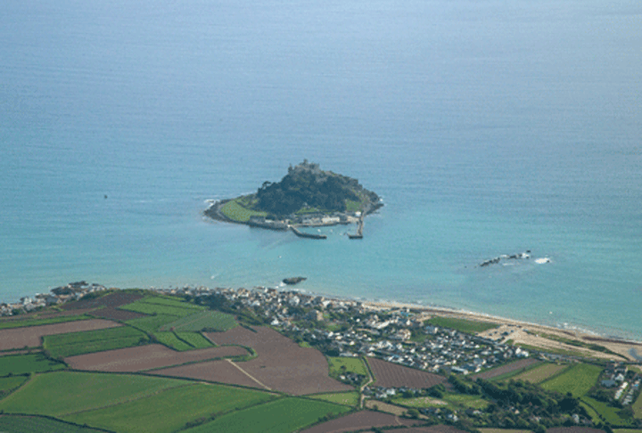
|
By 10.00am the sun has come out and it's a perfect flying day, so we head off up to the airport.
I love GA: it gives you a pass to the inner workings of commercial aviation. Next to the X-ray machines in the Departure Lounge is a small door with a buzzer. Pressing the buzzer allows you through (watched by goggle-eyed passengers) in to the inner sanctum of the airport via a winding staircase up past the offices to the Tower, from where you can see all the Twin Otters and Islanders arriving and departing.
I could stay up here all day watching the planes and listening to the Controllers liaising with arriving and departing aircraft, with Lands End and with the airfield FOD team patrolling the runway for bits of aircraft or birds, but we have business to attend to.
We pay our Landing and Parking Fees (a very reasonable £34 for 4 days) along with, it seems, every GA pilot parked on the grass. Everybody reads the same weather forecasts....

|

|
|---|---|
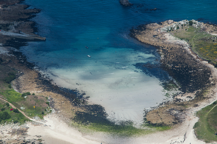
|
|
The tower is very solidly built and there is no evidence from up here of the howling gale outside. I suppose it has to be: they get serious winds here. The Scillies are very exposed.
Exiting the terminal I am battered by the wind as I walk across to the aircraft, which is rocking in the wind. The cover is determined to depart at high speed and it takes two of us to calm it sufficiently to roll it up.
Pre-flight is hard to do in the wind, and the long grass hinders underarriage inspection, but eventually we are in and call for start, taxy back on to 32 and back down the hill to the threshold of 27 (check and re-check that the brakes are working: failure here means you're off the cliff), turn round, drop the flaps to best take-off setting, clench buttocks and once cleared we Go.
As it's uphill accelerating seems to take forever but the airspeed indicator comes off the bottom stop in a few seconds and rolls around to 60Kts in a few more: aileron in to wind and firmly rotate. And we lift off before the intersection (so that's 289m) and by the time we pass the tower we are at 100ft. Phew!
We ask for and get clearance to fly around the islands, and in the blinding sunshine the white beaches and white horse waves could be The Caribbean. Above 100ft it smooths out (we're above the sea) and we ease around to a North Easterly heading before climbing to 3,000ft for the transit back to Lands End.
At 10 miles out we swap back to the super-efficient Lands End lady, saying a sad goodbye to The Scillies. We'll be back.
We have at least a 40Kt tailwind at 3,000ft so getting home will be quick and easy.
As we head North East the weather deteriorates as expected: we are catching up with last night's Front. We climb to 7,000ft to try to stay on top where it's smoother but of course there is an Airway in the way near Exeter so in the end we have to descend in to the clouds. The forecast icing level is at 8,500ft so we're OK although we do pick up a little bit on the windscreen before it is replaced by light rain near Bodmin.
Once past Exeter the high ground ends and we can descend a bit further; at 3,000ft we drop in to bumpy VMC and the weather starts to clear. Amazingly quickly we are past Bristol and looking at Swindon, so we can swap directly to Oxford who have 290° winds at 14Kt gusting 28Kt. I have already spoken to Oxford and ensured runway 29 is available, so now we ask for and get a left base for 29 (not one other aircraft on frequency, even the Tower sound surprised we're out here), descending over a sun-drenched Oxford and getting pushed out by the wind towards Beckley mast before turning Final at 4 miles. Runway 29 looks short from here, and the last time we did this it was all too much drama. I need to get this better...
Nail the speed and stabilise the approach at 65Kts, keep the power on to counteract the downdraft from the trees, then as we sink in to the flare we pick up a gust. This is precisely what has made my landings bad in the past, so this time I'll drop the power, heave the yoke and use the lift reserve (great term, that) to cushion the descent while I straighten us out and we plop neatly on 1/3rd of the way up the runway for a short roll out. No drama here folks, move right along...
With big smile we backtrack Bravo and park up. Carrier Rating complete.
Opening the doors we are assailed by more wind: we landed in that?
So The Scillies are great fun, but not for the faint-hearted and maybe pilots with a few hours under their belts would be happiest.
And once again it shows that for serious transport you need a competent aircraft, good crosswind landing skills and an Instrument Rating.